
Latest Insights
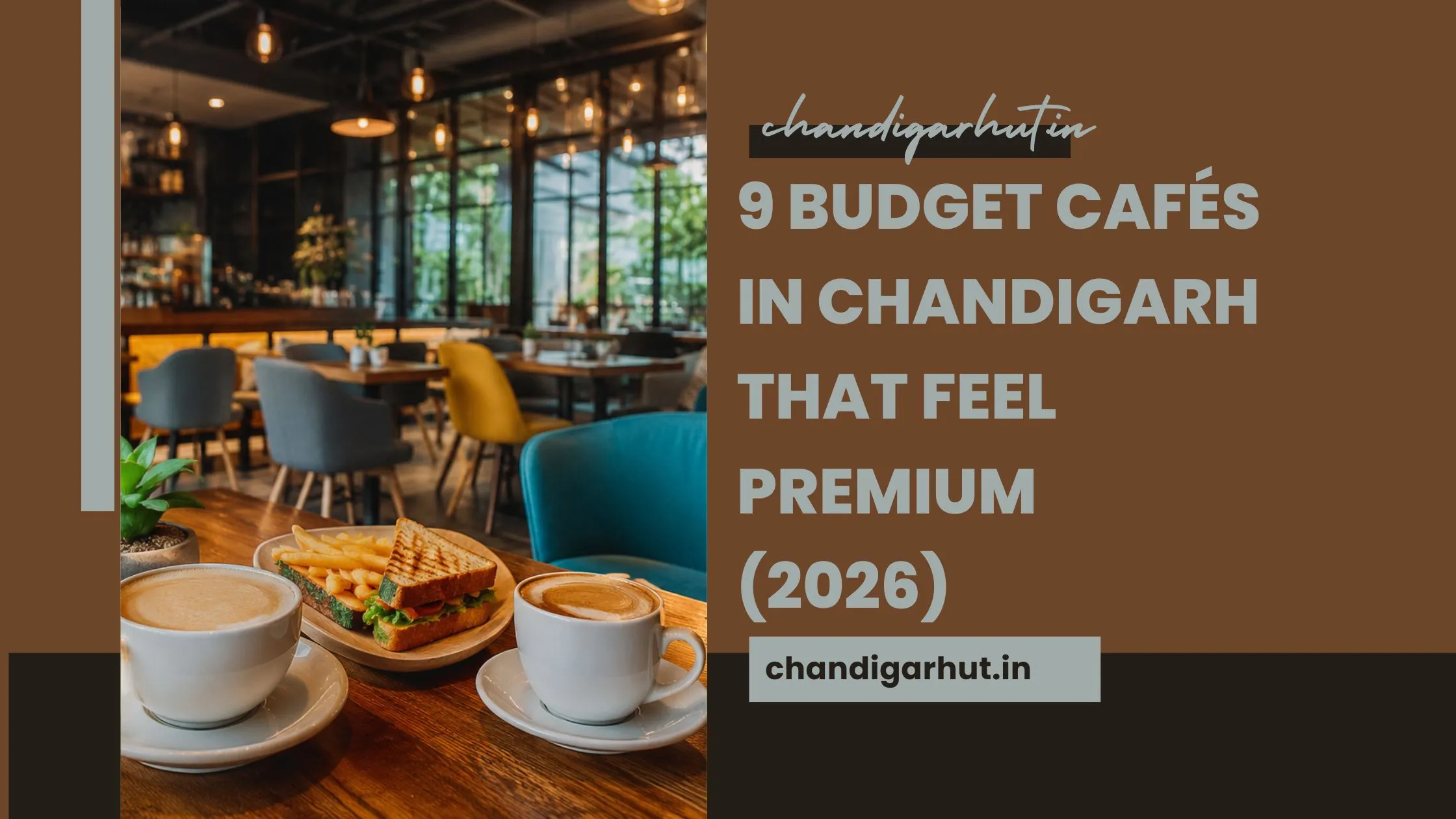
9 Budget Cafés in Chandigarh That Feel Premium (2026)
Discover the best Budget cafés in Chandigarh with affordable prices, cozy vibes, and great food. Perfect spot...
Rahul Dua Allow Me Show: Chandigarh Comedy Event 2026
Rahul Dua Allow Me Show in Chandigarh at Tagore Theatre. Get tickets, dates, timing, price & full details of t...

Modi Paper Leak Statement: 7 Strong Actions for Exam Reform
Modi paper leak statement highlights strict action, student trust, and exam reforms in India. Discover key upd...
Sonam Wangchuk Hunger Strike Ends After 26 Days
Sonam Wangchuk hunger strike ends after 26 days. Know why he protested, government response, student demands, ...

Namaste Trump Event Chandigarh 2026: 5 Reasons It’s Viral
Namaste Trump event in Chandigarh by Avinash Agarwal is going viral. Check date, venue, tickets, highlights & ...
Cassettes and CDs Nostalgia Chandigarh’s Retro Comeback
There’s something magical about pressing play on an old cassette or watching a CD spin—something today’s...
Trending Now
Chandigarh Book Fair 2026: Unlimited Books in One Box!
99179 viewsSunanda Sharma Concert Panchkula 7 Epic Reasons to Attend
95435 viewsPBKS vs RR Chandigarh Match Prediction & Pitch Report
87809 viewsParmish Verma Chandigarh Concert 2026 | SHERA Tour
82871 viewsChandigarh No Car Wednesday 7 Powerful Benefits & Rules
77400 viewsRecent Chronicles
Sonam Wangchuk Hunger Strike Ends After 26 Days
Popular Tags
Education


News
Panjab University Protest Chandigarh: 7 Key Updates
Jul 22, 2026
Editor's Picks
Cassettes and CDs Nostalgia Chandigarh’s Retro Comeback
There’s something magical about pressing play on an old cassette or watching a CD spin—something today’s...
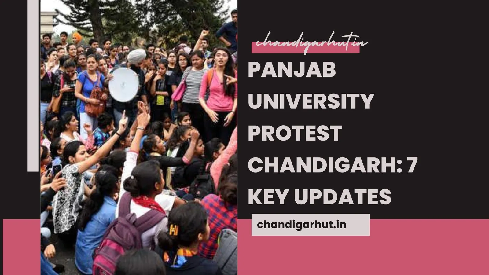
Panjab University Protest Chandigarh: 7 Key Updates
The Panjab University protest Chandigarh has quickly become more than just a campus incident—it reflects the...
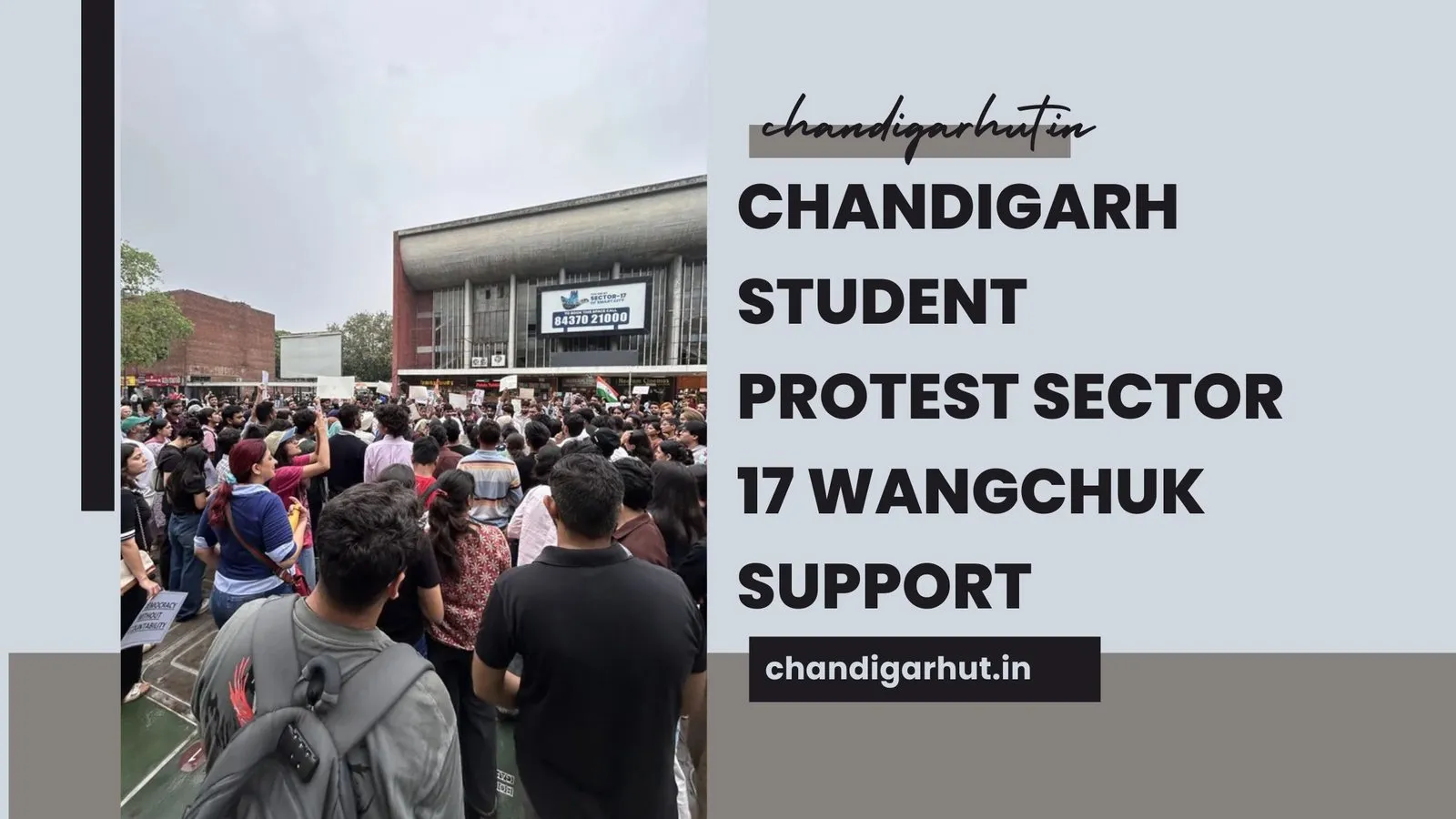
Chandigarh Student Protest Sector 17 Wangchuk Support
In a powerful yet calm display of unity, Chandigarh Student Protest Sector 17 emerged as a defining moment for...

Chandigarh College Guide 2026: Top Colleges & Admission Tips
Choosing the right college can shape your entire future—and if you’re planning your next step after Class ...